Ifield Parish Map
A probable large settlement spanning late Bronze Age to late Roman era
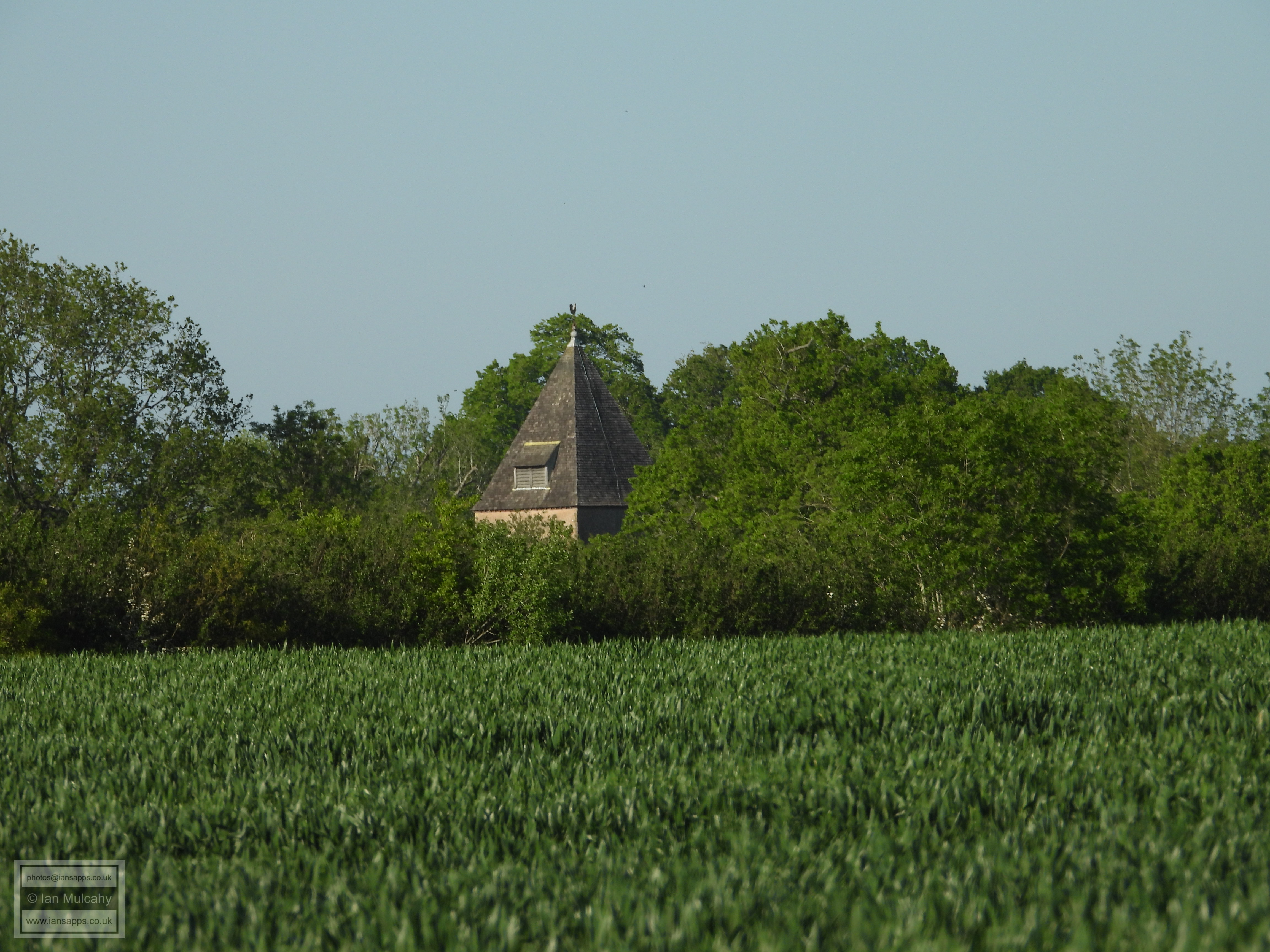
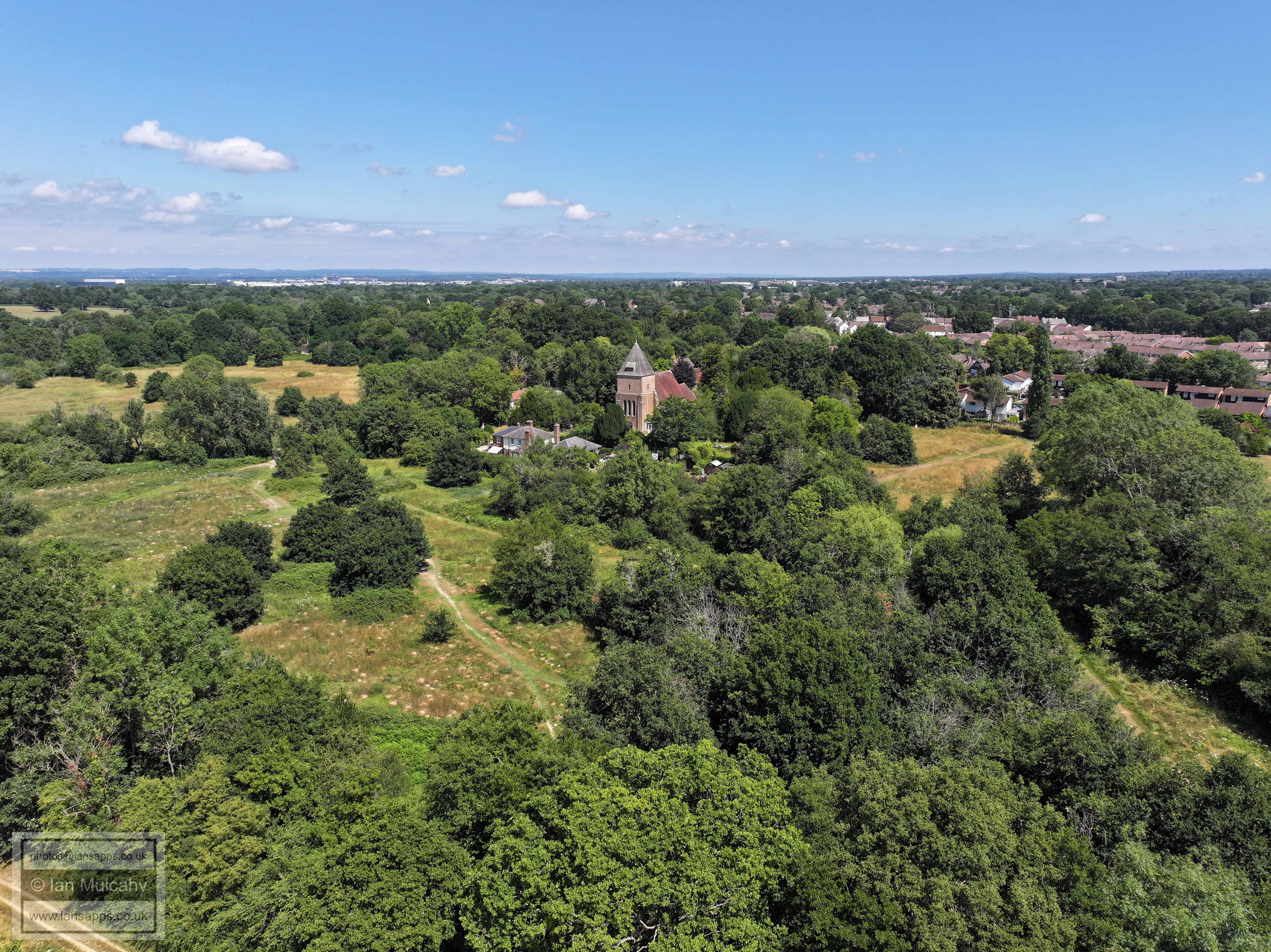
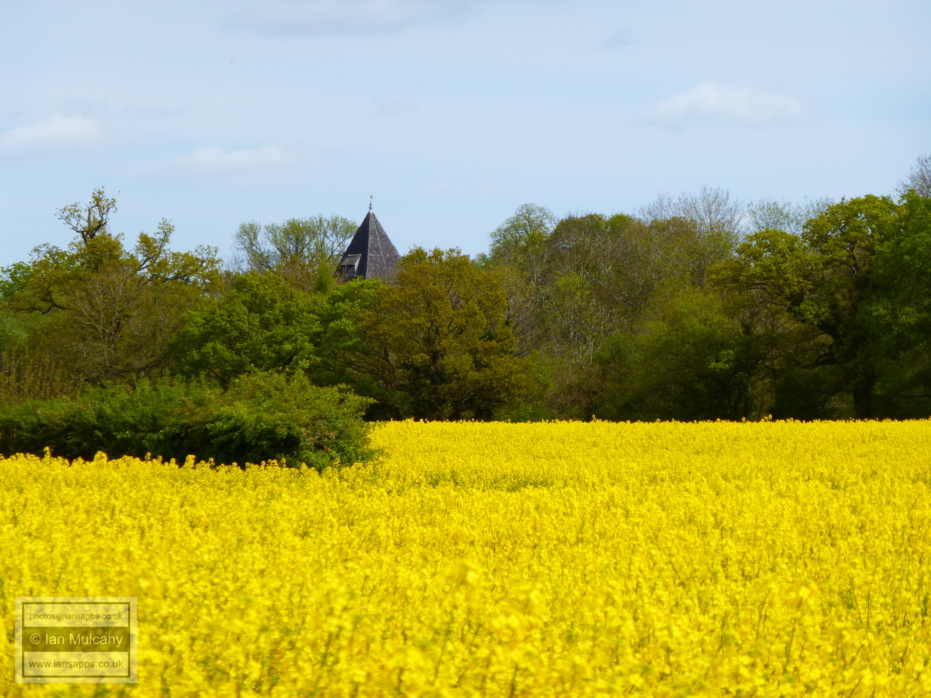
Archaeological excavations in 2017 at a site opposite Ifield Golf club revealed Bronze Age flints and a substantial amount of Roman pottery, along with bloomery slag. In 2019, an excavation during the installation of a new sewage pipe between Rusper and Ifield discovered the remains of an Iron age roundhouse situated on Ifield Court Farm land 200 metres west of Ifield Brook, which was dated to between 400 & 200 BC, along with 200 grams of Iron age Pottery sherds from a similar period. A further archaeological report in 2020 concluded that there is a 'probable large settlement site spanning the period between the late Bronze Age and Late Roman period' in the fields to the west of Ifield Brook and St Margaret's Church.
With all this evidence, and taken in the context of finds in the far eastern extremities of the Parish west of Crawley High Street and those from just outside the parish, which include: a late Bronze Age settlement in the north western area of Gatwick Airport and sword in the Polesfleet Stream, Bronze Age barrows on the ridgeway south of Buchan Park and Iron Age/Romano British ironworks and settlements at Goffs Park, Southgate West & Broadfield, we are able to say with some confidence that Ifield, as a continuously inhabited settlement, probably dates back at least to the late Bronze Age.
An 'Ancient Ifield' Exhibition was held at Crawley Museum between 5 June and 5 July 2025. The posters that were on display at this exhibition can be downloaded from here. The video that was shown, including a version with an alternative soundtrack, along with the trailer used to promote it can be viewed here.
Text & photographs © Ian Mulcahy. Contact photos@iansapps.co.uk or visit my 'Use of my photographs' page for licensing queries.