Ifield Parish Map
Late Bronze/early Iron age pit and Robinson Road
Excavations carried out during 2002 to the west of Crawley High Street revealed a Late Bronze Age to Early Iron Age pit, Roman pottery, a Saxon era pit and numerous more common finds bringing us all the way to the present day, demonstrating continuity of habitation in this area spanning up to 3,000 years.
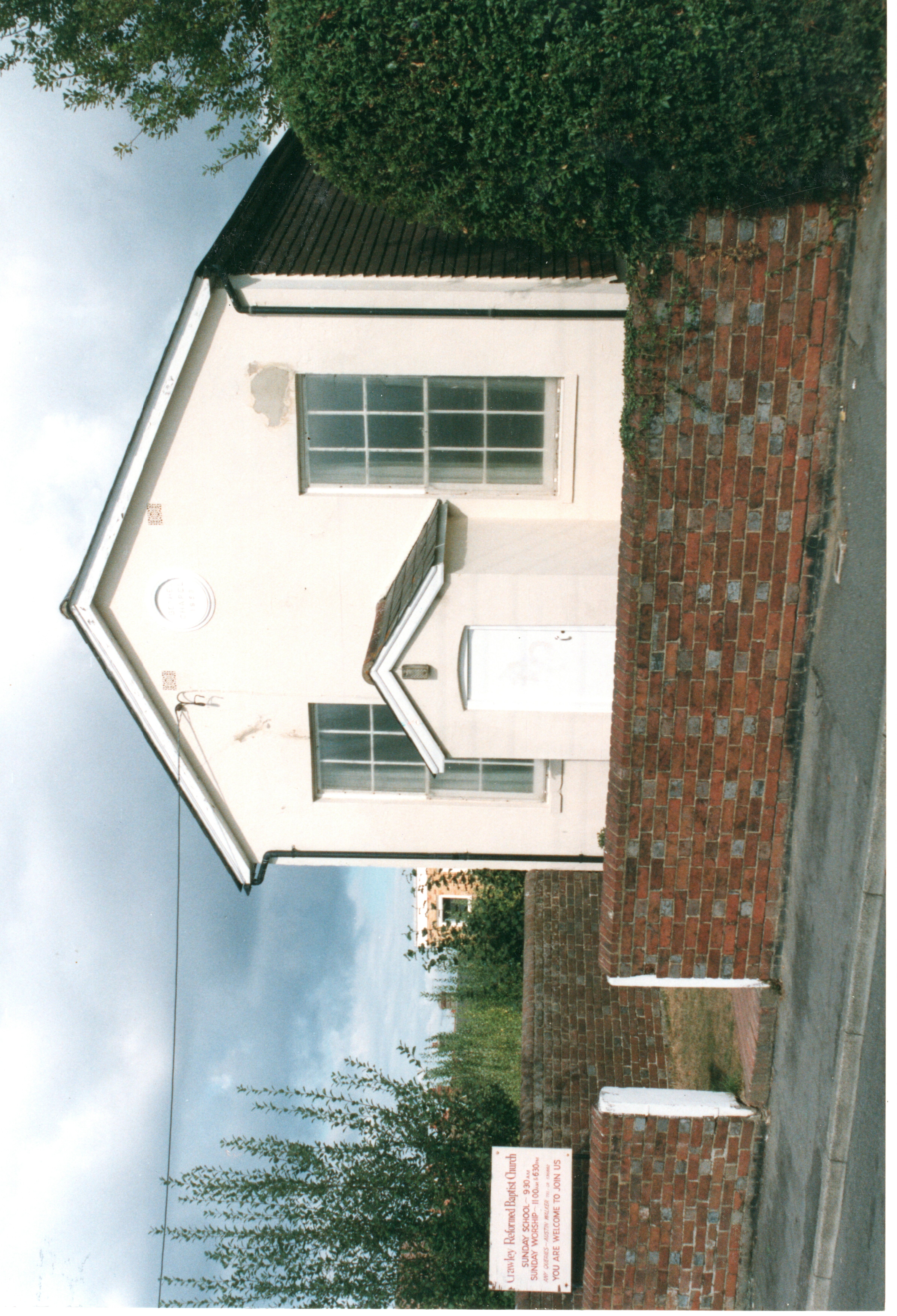
Originally named New Road when built in the 1850s, Church Road by 1864 and Post Office Road from 1895, Robinson Road (from 1940) was home to many of the Crawley's important community buildings including Sarah Robinsons British School (1854-1956, and latterly an annexe to Crawley College), the Bethel Chapel (1858-1969 and which was later reopened as the Crawley Reformed Baptist Church from 1971 to demolition), the Post Office (1895-1928), Crawley and Ifield Cottage Hospital (1896-1939) and The Congregational Church (1835-1863, followed by a new building 1863 - 1962). Robinson Road was demolished in 1995 to make way for Peglar Way and the Asda development. Bodies exhumed from the graveyard of the Bethel Chapel were re-interred at Snell Hatch Cemetery with the gravestones being broken up and used in the sub-structure of Peglar Way.
The Bethel Chapel in Robinson Road
An 'Ancient Ifield' Exhibition was held at Crawley Museum between 5 June and 5 July 2025. The posters that were on display at this exhibition can be downloaded from here. The video that was shown, including a version with an alternative soundtrack, along with the trailer used to promote it can be viewed here.
Text © Ian Mulcahy. Photograph © Dave Palmer. Contact photos@iansapps.co.uk or visit my 'Use of my photographs' page for licensing queries.