Ifield Parish Map
7 people are killed and 44 injured by a doodlebug
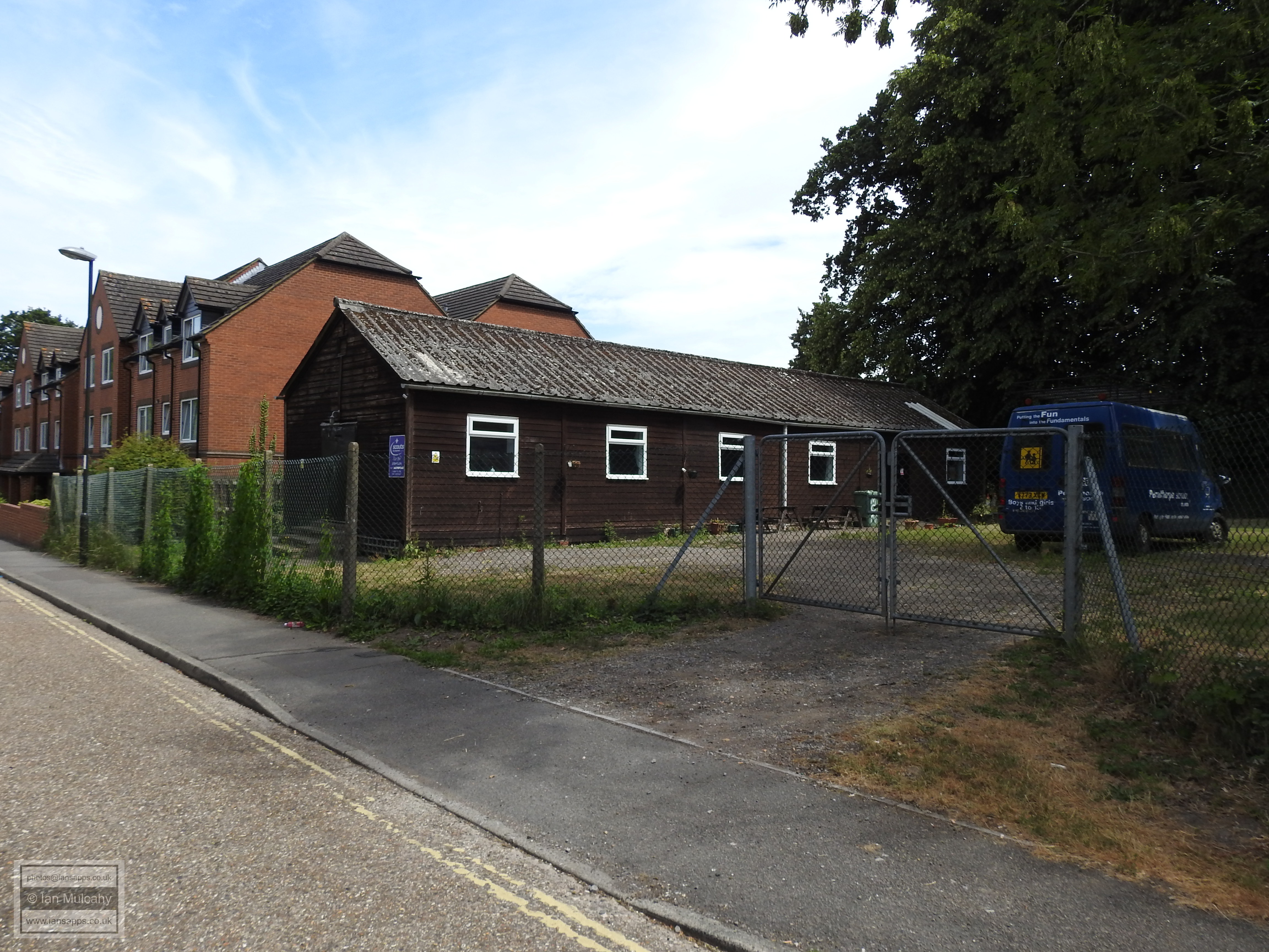
On 10 July 1944 a doodlebug landed at the junction of West Street and Oak Road in the 'New Town' area south of the railway line close to Goffs Park killing 7 and injuring 44. 15 houses were also destroyed. A second V1 landed in Malthouse Road, but thankfully failed to explode.
Formerly a row of houses, this is the landing site of the V1 rocket which is now host to a Scout hut.
An 'Ancient Ifield' Exhibition was held at Crawley Museum between 5 June and 5 July 2025. The posters that were on display at this exhibition can be downloaded from here. The video that was shown, including a version with an alternative soundtrack, along with the trailer used to promote it can be viewed here.
Text & photographs © Ian Mulcahy. Contact photos@iansapps.co.uk or visit my 'Use of my photographs' page for licensing queries.