Ifield Parish Map
Ifield Court
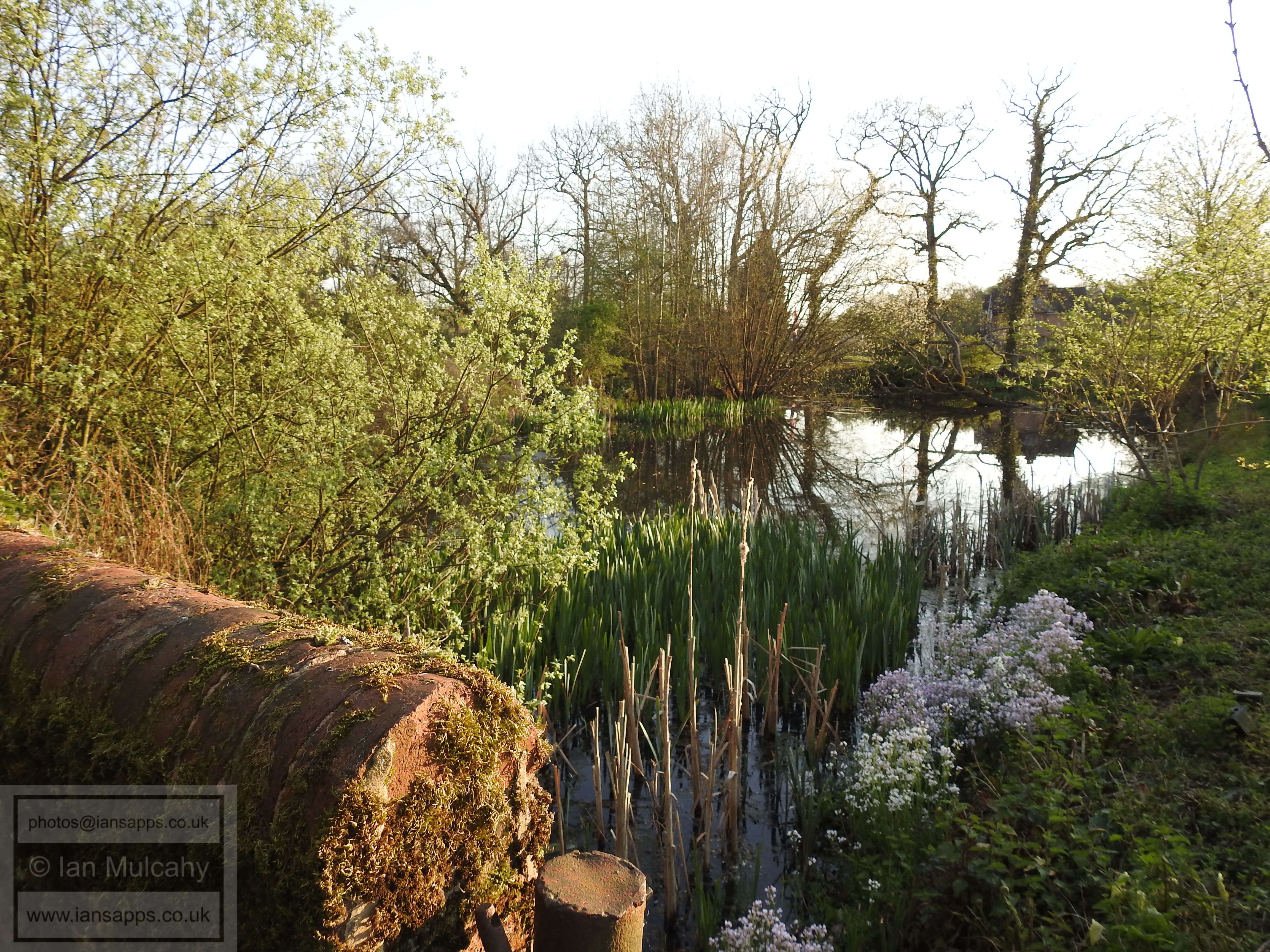
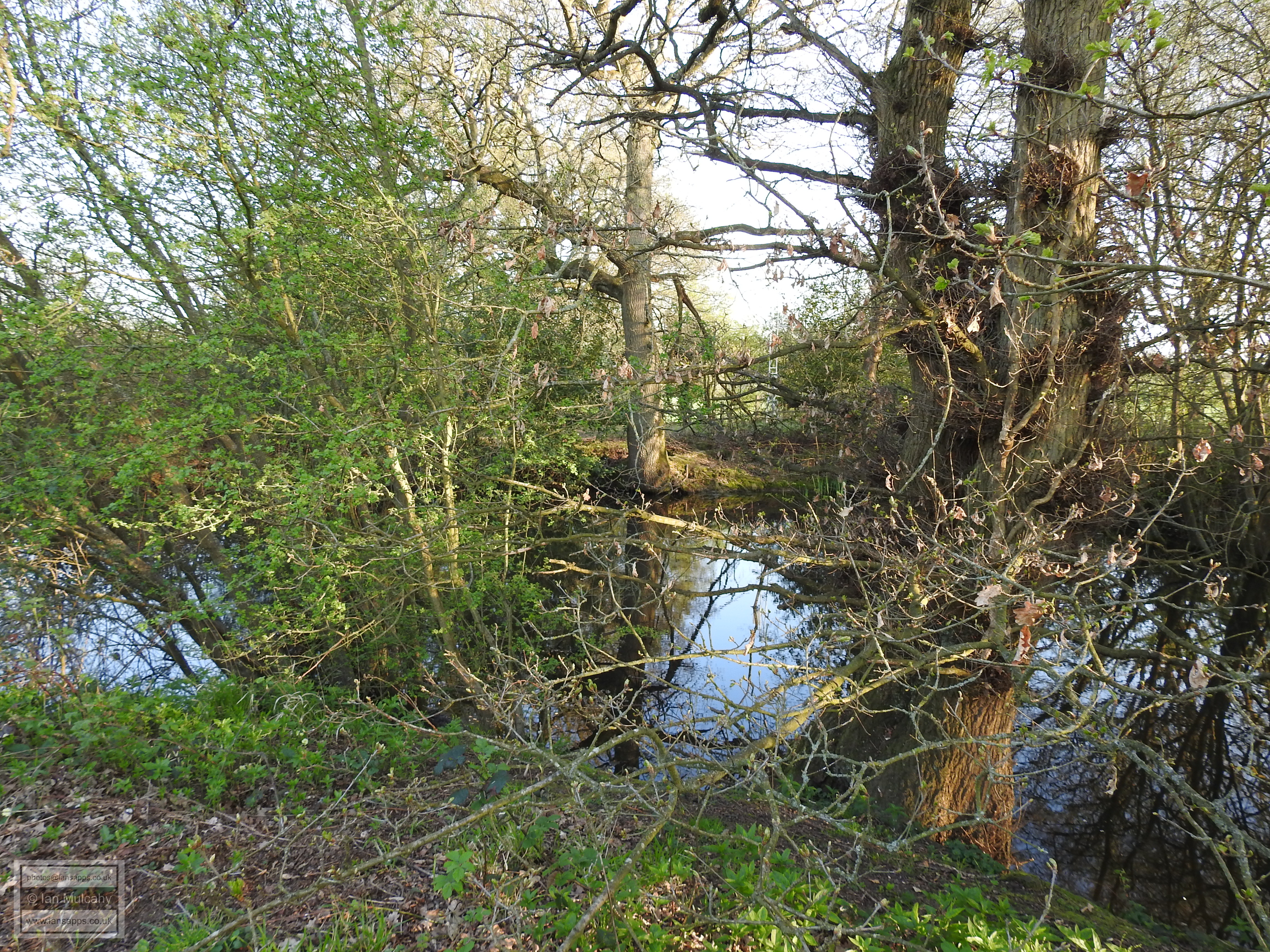
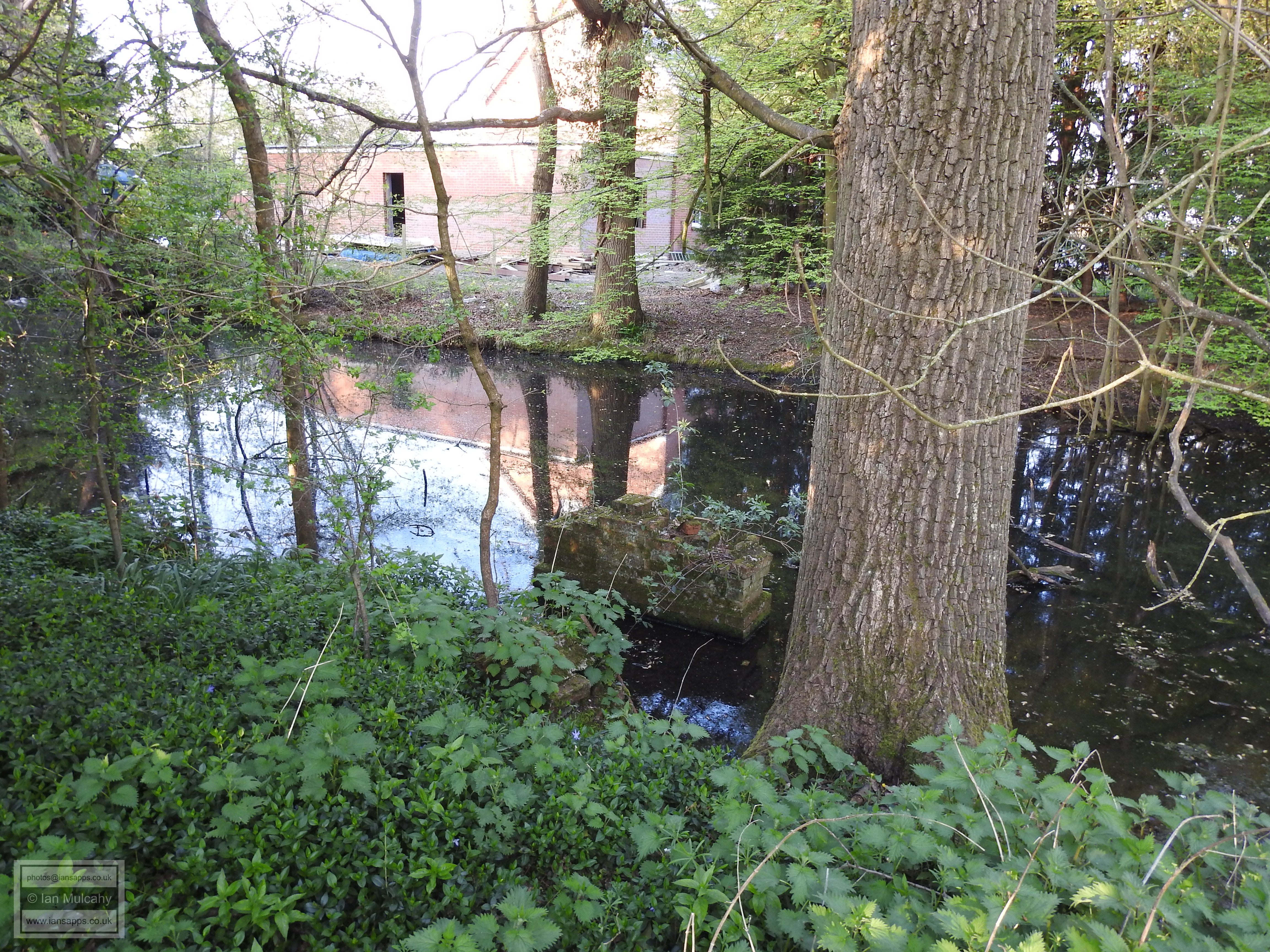
Half a mile to the north of St Margaret's Church on higher ground is Ifield Court, a medieval moated site which once hosted the Manor House. A house at Ifield Manor is first documented in 1387 in the will of Sir Richard Poynings, who was then Lord of the Manor, though one undoubtedly existed before this and an Ifield Manor was mentioned in the Domesday Book of 1086. A moated house was documented in 1529 when the Manor was still in the hands of the Poynings and by 1835 it had been repurposed as a farmhouse called Ifield Court occupying the northern corner of the island. This is clearly shown on the Ifield tithe map, published in 1841. By 1870, the house had been destroyed by fire and was no more, having been replaced by a new house east of the moat, which is shown on the map of 1870, and which is what we now know as Ifield Court Hotel.
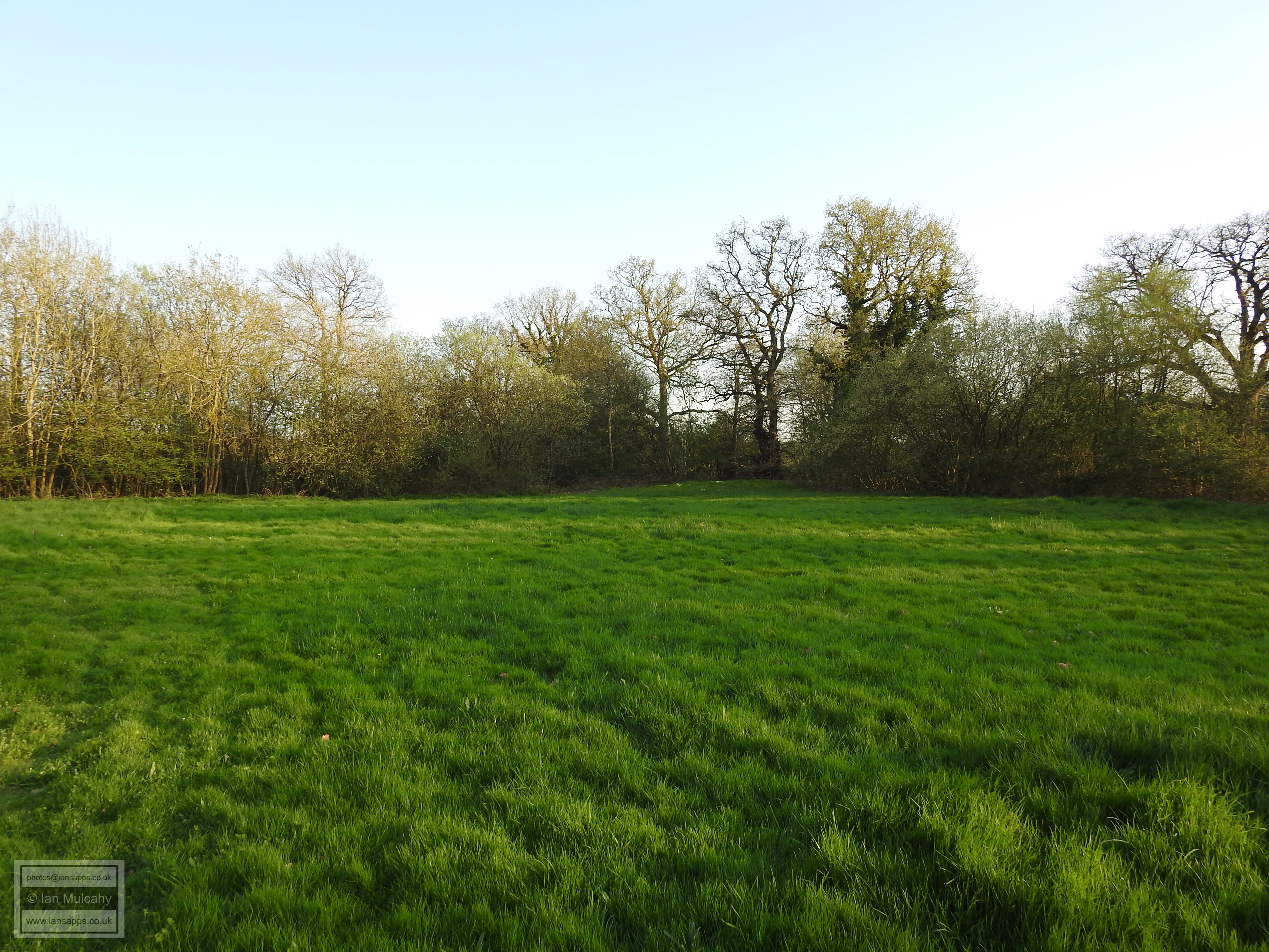
The Manor House of Ifield may have originally been built on a motte, now barely visible in a field to the south of the River Mole, moving to the higher ground in the century or two following the Norman Conquest. However, the purpose of this earthwork, measuring 42m wide, is yet to be archaeologically confirmed and suggestions that it may be a Bronze Age burial mound have also been put forward.
An 'Ancient Ifield' Exhibition was held at Crawley Museum between 5 June and 5 July 2025. The posters that were on display at this exhibition can be downloaded from here. The video that was shown, including a version with an alternative soundtrack, along with the trailer used to promote it can be viewed here.
Text & photographs © Ian Mulcahy. Contact photos@iansapps.co.uk or visit my 'Use of my photographs' page for licensing queries.